
Tracing a Roseville Street by Address
An address is the best starting point when a Roseville question concerns a whole street. The city’s Property Information Tool accepts the address, then GO and View Property Report return an APN and map layers. That APN is the handoff to Placer County systems. It connects a parcel to assessment details, recorded instruments, and older address evidence, but it is not a household list. Ownership is a record fact; residence is an inference that needs separate support.
Use the chain in order. Write down the exact street spelling and number, note whether Roseville is the situs or only the mailing city, and save the APN before moving to a name. A street directory built this way can follow one block without implying that every person at an address is known.
- Enter the address in the Roseville tool, choose GO, and open View Property Report. Capture the APN, subdivision, ZIP, and district layers.
- Open the parcel map and click the subject polygon. Record adjacent APNs only when the block-level question calls for them.
- Use the APN or full address with the Placer assessor inquiry. The web search is not an owner-name or street-address search.
- Search the recorder’s grantor/grantee index with the party or document reference, then order or view the image through the county channel.
- For an older household, compare the closest printed directory or criss-cross edition with census, obituary, probate, or deed evidence.
Roseville Property Tool: Address to APN
The address-first route begins in Roseville, not in the county assessor search. The city tool accepts a street address, then the GO control and View Property Report expose the assessment parcel number and map context. The result can include subdivision, zoning, land use, ZIP, district, neighborhood, flood, utility, school, open-space, plan-area, creek, landmark, and bicycle-route layers. It is a location bridge, not a public resident roster.
The Roseville GIS property layer service is the map endpoint behind those parcel and district views.
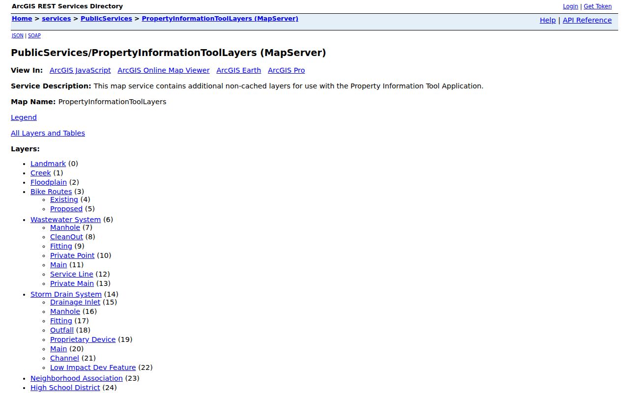
It gives a street-by-street search a stable parcel reference before county records are checked. A layer result still needs a custodian record when the question turns from where a parcel sits to who is connected to it.
APN Fields Behind a Roseville Street Directory
Placer Property Details accepts a Fee Parcel Number, Assessment Number, or Aircraft Tail Number and requires an acknowledgment that the search conditions are understood. It does not offer an owner-name or street-address web search. For an owner inquiry, call 530-889-4300 or send the assessor an inquiry with the APN and/or full address. The county's Assessor FAQ explains the broader data and selection modes. The APN is a 12-digit assessment identifier, not always the recorded legal lot.
| Field label | Role | Access note |
|---|---|---|
| Fee Parcel Number | Parcel identifier | Use a known parcel value |
| Assessment Number | Assessment identifier | Use when an APN or assessment number is known |
| Aircraft Tail Number | Separate lookup choice | Not a street-address search |
| Acknowledgment | Required confirmation | Select “Yes, I understand and agree” |
A sample parcel result can show APN or Assessor ID, TRA, last recording date, document number, units, building type, square feet, garage or unfinished area, year built, bedrooms, baths, fireplace, and pool. New Search, Print, and View Maps controls help preserve the handoff.
Walking Roseville Parcels in GIS
Map browsing is useful when a street has a curve, a corner parcel, or a boundary that is hard to read from a mailing label. Click the subject parcel, save its APN, then click each neighboring polygon and repeat. This adjacent-parcel method creates a checked list rather than a guessed radius of names. Roseville GIS supports map browsing and distance or query operations, but no public evidence shows an automated resident-radius list.
Development Services and GIS coordinate Roseville street naming and numerical addressing with Placer County for fire, police, ambulance, utilities, and USPS. That is why a city map can be the best first stop for a county record.
The Roseville official ZIP and address feature layer supplies the separate ZIP geometry used beside the property view.
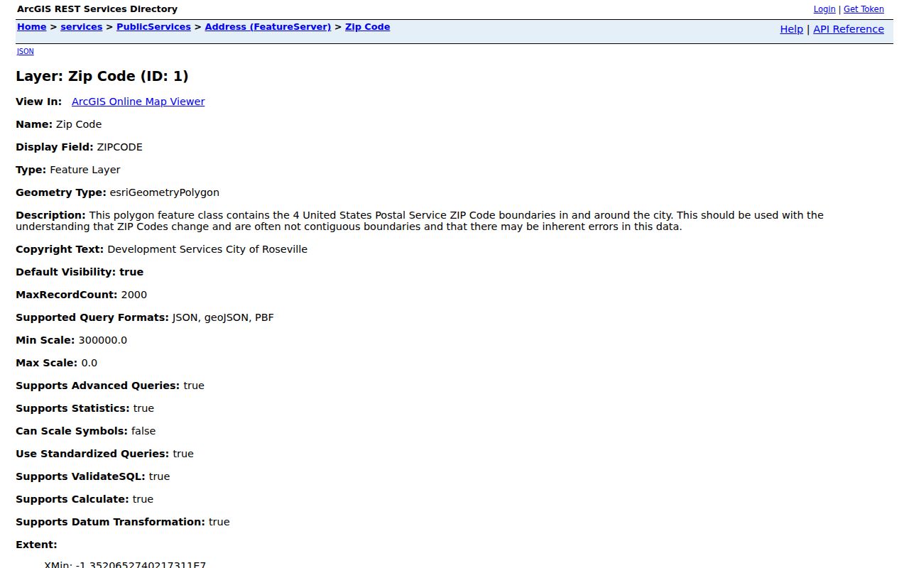
Its boundary note matters: ZIP areas can change, be noncontiguous, and contain errors. Use the map to locate a parcel, then verify delivery geography with the postal source and jurisdiction with city tools.
Roseville Street Directory Records, Source by Source
Different Roseville records answer different parts of a street question. A parcel layer locates land, an assessment record describes the tax account, a deed index identifies recorded parties, and a historical directory supplies a past address snapshot. The table keeps those roles separate.
| Record set | Keeper | What it shows | Access |
|---|---|---|---|
| Parcel and assessment | Placer Assessor | APN, values, characteristics, exemptions, mailing/site fields | APN web; owner by request |
| Property map and GIS | Roseville GIS | Parcels, subdivision, zoning, ZIP, districts, neighborhood | Free address and map browse |
| Recorded deeds | Placer Clerk-Recorder | Deed parties, sequence, type, date, document reference | Free index; image order or counter |
| Criss-cross directories | Library and report evidence | Occupant snapshots by address and year | In-library or documented report |
| Voter file | California SOS and county | Registered persons and address for a permitted purpose | No public street browser |
| Permits and planning | Roseville departments | Applicants, contractors, project dates | Portal or CPRA; coverage gap |
The street directory becomes useful when one identifier carries the reader from one row to the next. The APN ties the map to assessment and transfer references. The street name helps organize older directories. The index, however, is not the image, and an address match is not proof that the named party occupied the parcel.
Mailing Address or Situs Address?
A situs address is the physical place where the parcel sits. A mailing address is where assessment notices go. Placer data keeps those ideas apart, so a mismatch can point to an owner who receives mail elsewhere, a changed mailing record, or a postal boundary issue. It cannot prove who lives at the site. A homeowners’ exemption is also a clue, not a finding of occupancy.
- Parcel
- An assessment unit identified by an APN. It is not always the same as a legal lot.
- Situs address
- The physical location assigned to the property, separate from the owner mailing address.
- Plat
- A recorded map that supplies legal lot, block, or subdivision context.
- Criss-cross directory
- An address-first historical listing that can connect a street number with an occupant snapshot.
Roseville’s mailing geography can also reach beyond the incorporated city. When the city boundary matters, compare the address result with Know Your Boundaries instead of treating “Roseville” in a postal line as a jurisdictional answer.
Note: An APN anchors parcel records, but it does not prove that an individual occupied the structure.
From Parcel to Placer Deed Chain
After the APN and any transfer reference are known, move to the Placer County Clerk-Recorder real-property index. The daily grantor/grantee index is organized by party names, document type, document number, and recording references. A grantee receives an interest; a grantor transfers one. Search the current grantee, read the earlier grantor, then search that grantor as an earlier grantee. Confirm the legal description and APN because a street address may not be the index key.
The exact online cutoff is not stated. Scanned images are not placed online, but the research counter has index and image access Monday through Friday, 8 a.m. to 4 p.m. Noncertified copies cost $2 for the first page and $1 for each added page. Certified copies cost $4 for the first page and $1 for each added page. Fax or email copies cost $4.25.
Mail requests should name the document type and parties, give the recording number or reference, phone, and return address, and include a check or money order. A legal-size self-addressed stamped envelope is preferred. Send requests to 3715 Atherton Rd, Rocklin, CA 95765, or call 530-886-5600. For older links, County Archives holds Deed Books from 1851-1960 and assessment rolls and maps from 1851-1961. Archive appointments are Monday and Tuesday, 9 a.m. to noon and 1 to 3 p.m., at 11523 C Ave, Auburn; call 530-889-7789 or email archives@placer.ca.gov.
Roseville Address History in Print
Printed directories add a time layer that a current parcel result cannot supply. Roseville’s verified local collection has checkpoints from 1914 through 1999. Haines and EDR criss-cross evidence is documented for 1971, 1977, 1981, 1986, 1990, 1992, 1995, 2000, 2005, 2010, 2014, and 2017. The address-first format is especially useful for a prior household, while a name-first directory can help separate namesakes.
An official environmental report inspected Vineyard Road examples. Polk editions from 1963 and 1966 did not list that street, while later Haines and EDR editions include street numbers and occupant names, including 2351 and 2359 Vineyard Road in 2017. Absence from one edition means only that the street or entry was not found in that edition. It does not establish that no one lived there.
The Roseville Public Library Local History Center keeps noncirculating materials and offers assisted genealogy service during library hours. Its catalog, local-history staff, and the Roseville Historical Society are better fallbacks than a guessed online list. The collections and their year-by-year use belong in the Roseville Directory Book discussion.
Roseville Street Names and Place Names
Roseville’s street grid carries a record-keeping clue. O.D. Lombard’s 1864 plat laid out blocks 1 through 55 and named Atlantic, Pacific, Vernon, Washington, and Lincoln. Roseville incorporated in 1909. Later place names preserve pioneer surnames such as Fiddyment, Cirby, Kaseberg, Buljan, Astill, Doyle, and Mahany. The city's addressing and street-names office remains the local source for numerical addressing and name coordination.
That history affects a name search. Fiddyment, Cirby, Kaseberg, or Mahany may describe a person, a street, a subdivision, or a place association. A careful street directory separates a person-index hit from a map label before treating the name as evidence about a household. Older downtown addresses also benefit from the plat and legal description, not only from a modern street spelling.
Address Records Beyond the Parcel
Permits and planning files can add named applicants, contractors, and project dates to an address trail. The research did not establish an official coverage period or complete field inventory for an online permit portal. When the portal does not answer the question, use the California Public Records Act channel through the Roseville City Clerk. The CPRA response statute sets the general 10-day determination and possible 14-day extension. The clerk’s office is at 311 Vernon St, Roseville, CA 95678, Monday through Friday, 8 a.m. to 5 p.m.; phone 916-774-5263 and fax 916-786-9175.
Reports created by law enforcement follow the agency that made them. The Placer County Sheriff public records portal is a distinct request channel for Sheriff records.
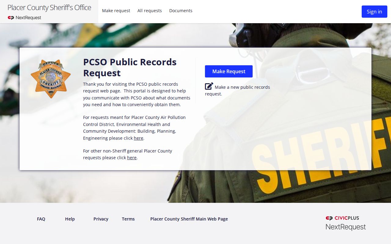
It is useful when a Roseville address question concerns a report rather than a parcel, and exemptions may limit what is released. Do not treat a permit or report name as proof of current residence.
Can California Voters Be Browsed by Street?
No public web tool lets a reader browse Roseville voters street by street. My Voter Status authenticates the person using first name, last name, date of birth, and a California driver license or identification number, or the last four digits of a Social Security number as applicable. A successful self-lookup can return registration status, party preference, polling place, districts, and vote-by-mail status.
A voter file may contain a residence and mailing address, but disclosure is restricted by Elections Code section 2194 and Government Code section 7924.000. The voter-file application requires identification, a specific permitted purpose, organization or client details, intended users or vendors, and certification. Election, scholarly, journalistic, political, governmental, and audit or record-review purposes are listed in the research. Commercial use is forbidden, and unauthorized use can be a misdemeanor under Elections Code section 18109.
Safe at Home and other confidential-voter protections mean that a missing address can be intentional. A voter result should therefore be treated as a lawful, limited record channel, not as a resident list for a street directory.
Limits of the Roseville Street Directory
A Roseville street directory can organize parcels, owners of record, deed parties, permitted projects, and historical address snapshots. It cannot establish every person who lives at an address, supply private utility customers, reveal restricted DMV data, or create an automated circle of nearby residents. Ownership, occupancy, mailing address, and situs are different facts.
Lawful use. Roseville address and record sources are for lawful personal research, family history, records verification, and civic curiosity. Using them to stalk, harass, threaten, impersonate, trespass, or intimidate a person is prohibited and may implicate California Penal Code sections 646.9 or 653m and Civil Code section 1708.7.
Verify consequential records with the custodian. The assessor, recorder, Archives, City Clerk, and permitted voter-file channels have distinct rules. That step keeps a by-address search useful without turning a street directory into a claim about a private household.